10 AERIAL PHOTOS OF THE EASTERN CAPE
Thursday, 3rd May 2018
“The world changes when we change our perspective.”
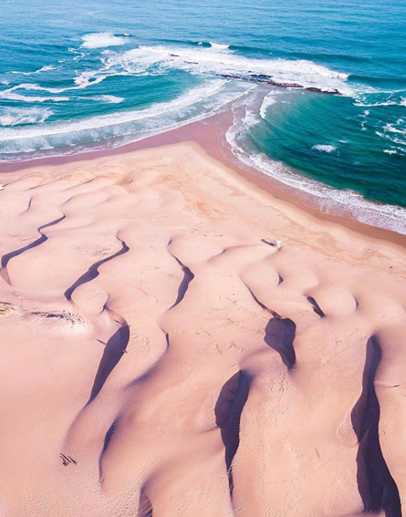
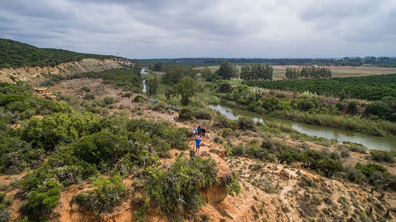
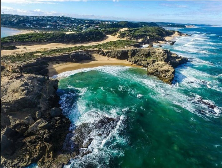
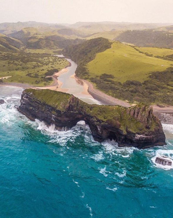
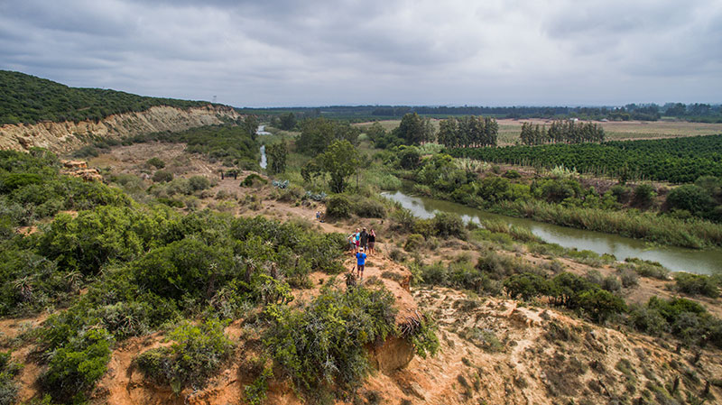
The Eastern Cape is a vast area of South Africa consisting of 800km of pristine coastline, a rich cultural heritage and some of the best game viewing in the country. Covering an area of 167 000 km2 , and home to a population of 6 500 000 people, it’s difficult to sum up the Eastern Cape in a few words. So, instead of trying to explain why the Eastern Cape and its vibe is so special – we thought we’d tell you one of its stories through these incredible aerial photos of the diverse and naturally spectacular Eastern Cape.
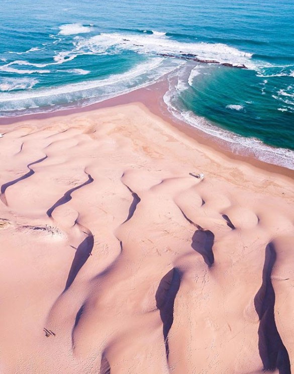
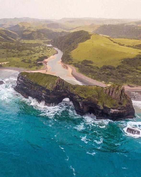
THE WILD COAST by @LifeofMikeZA
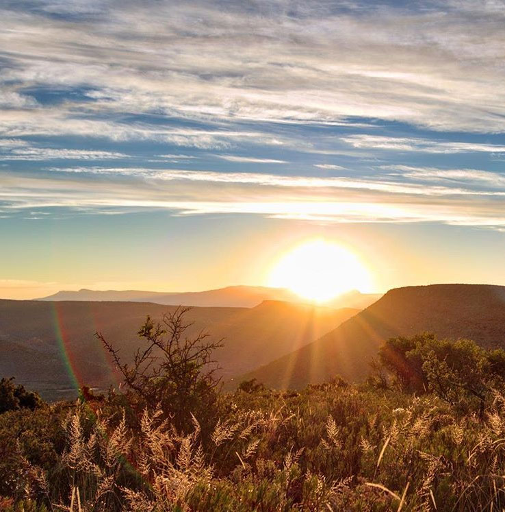
THE KAROO HEARTLAND by @Aperture_Art
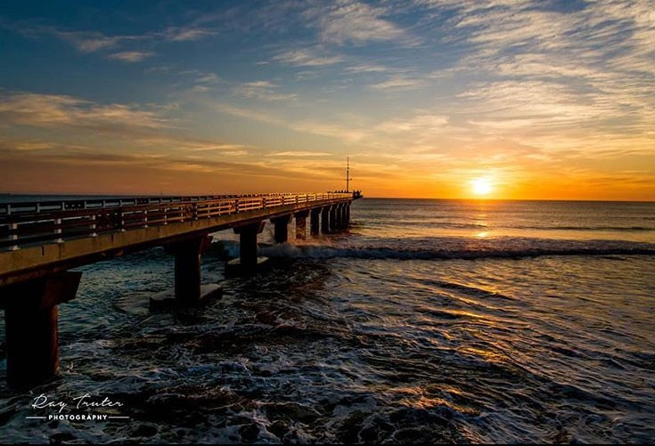
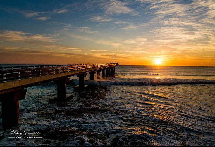
PORT ELIZABETH by @raytruterphotography
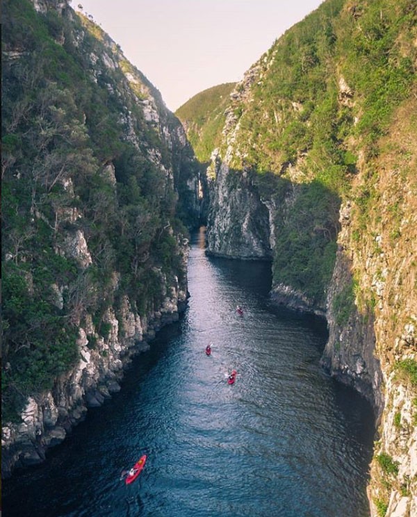
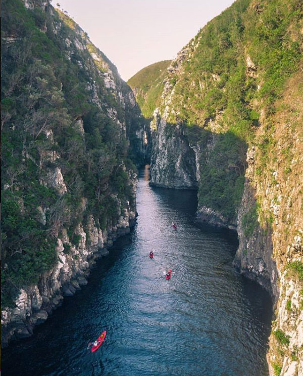
TSITSIKAMMA by @ltjvrensburg
KOUGA-BAVIAANS by @ExperienceEastCape
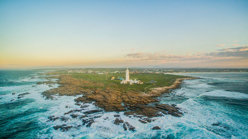
PORT ELIZABETH by @DeanCothill
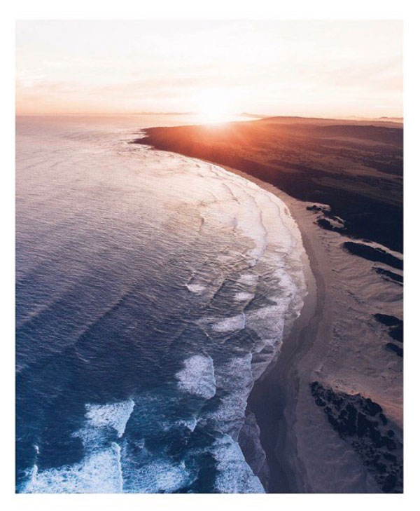
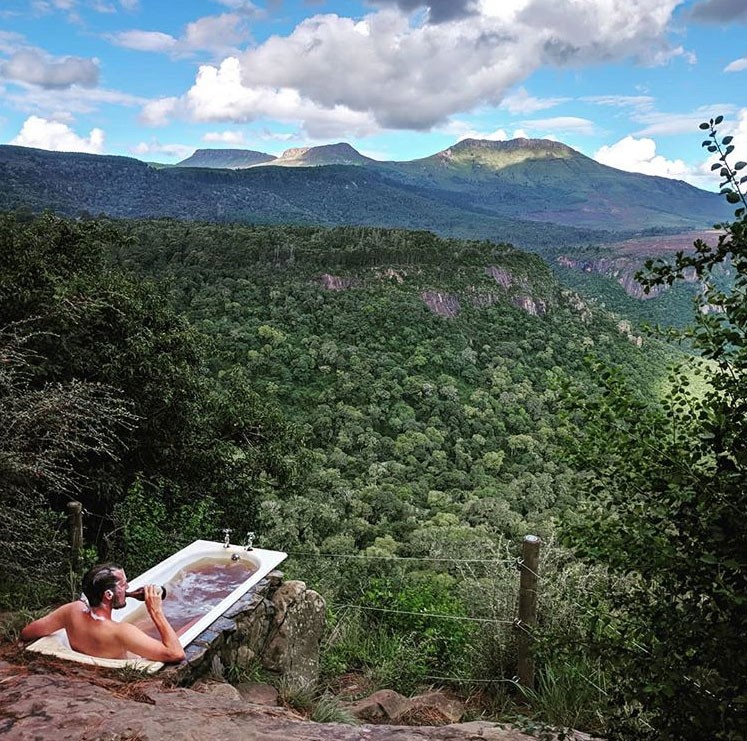
AMATOLA MOUNTAIN ESCAPE by @jonas.rimmer
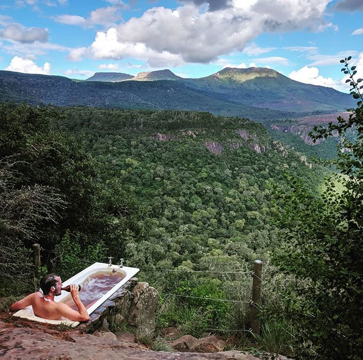
ROUTE 72 by @kentonbushmanstourism
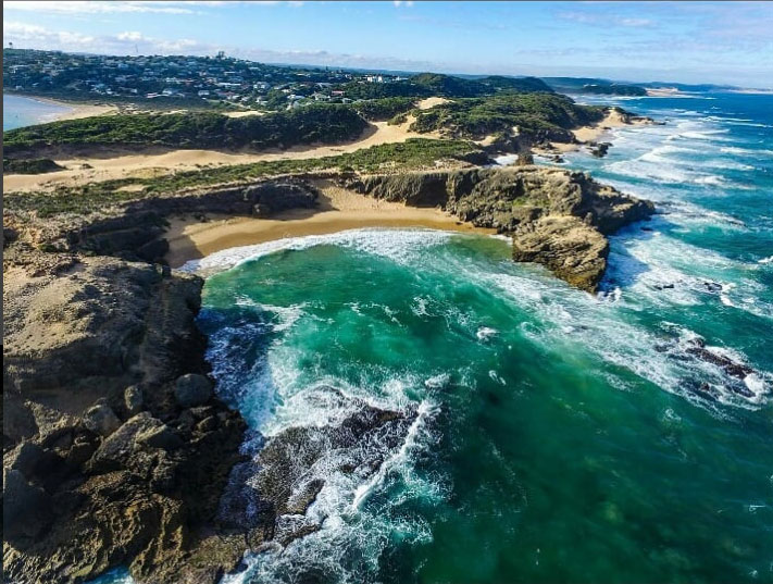
GREATER ADDO by @ExperienceEastCape
PORT ELIZABETH by @ltjvrensburg