Cape St Francis Lighthouse - Cape St Francis
- Cape St Francis
Last Updated: July 2019
Contact Details
- 042 298 0428
- salato@npa.co.za
- Visit Website
Location
-
Seal Point, Cape St Francis
- Longitude: 24.83617
- Latitude: -34.21248
- Map
About Cape St Francis Lighthouse
CAPE ST. FRANCIS LIGHTHOUSE @ SEAL POINT experience
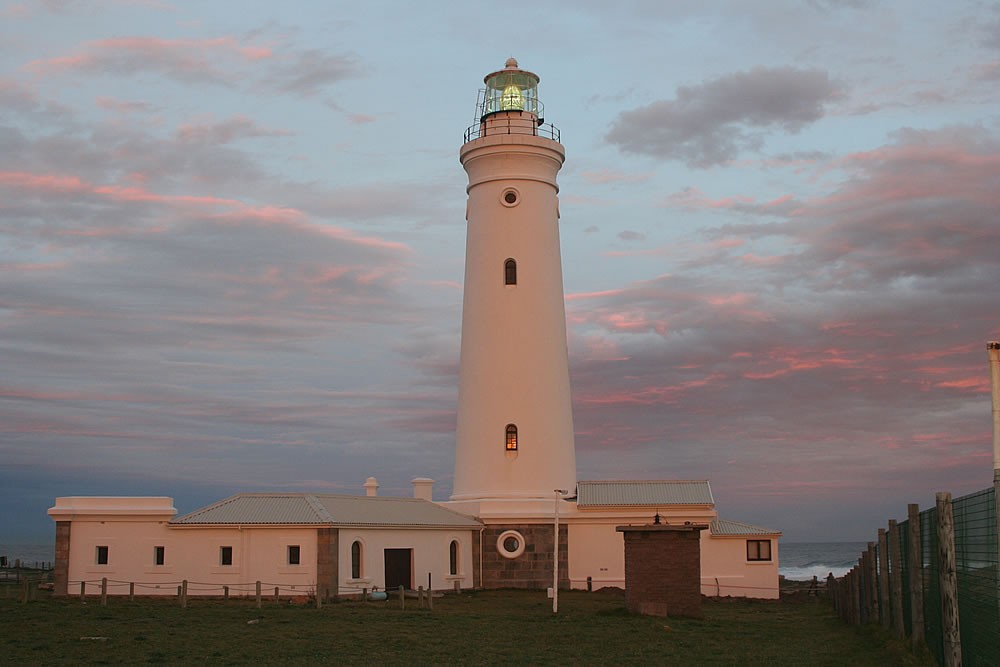
Seal Point lighthouse is situated approximately 30 km from Humansdorp and 100 km from port Elizabeth and is home to the tallest masonry building, standing 27.75 meters high.
Date Installed - 4 July 1878
The focal plane is 36 meters above sea level and the light has a range of 28 sea miles.
Joseph Flack, a civil Engineer and architect who was employed by the Cape Colonial Government at the time was instrumental in building this majestic building. He was also involved in building Robben Island. Joseph Flack, who came from Maidstone, Kent, England died on 14 November 1876. W.B. Hays took over on 29 November of the same year and the light was lit for the first time on 4 July 1878.
It was equipped with a three wick burner and had an intensity of 15 000 candles, providing a single white flash every 20 seconds. On 17 May 1906 the flash rate was changed to one flash every 5 seconds and a petroleum vapour burner was fitted, increasing the candle power to 120 000 candelas. Today the character of the light is once every five seconds with an intensity of 2 750 000 candelas and a range of 28 sea miles.
Named after the patron saint, Cape St Francis is now becoming a popular tourist Mecca. In 1959 a ship the Lady Head was wrecked in the bay at the mouth of the Kromme River and its is believed than a population of swans that inhabit the estuary came from the ship.
Seal Point lighthouse continues to watch over the coast and has done for almost 123 years resulting in fewer shipwrecks.
(information from www.lighthouses.co.za)